The „Richmond Ranges“, an accident and the end of the trail with happy end!
Day 63, St. Arnaud toRed Hills Hut, 16 km
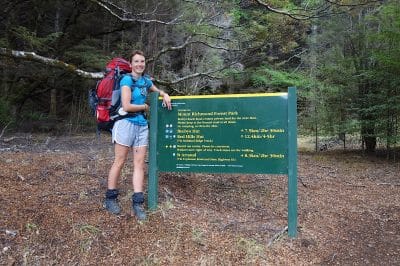
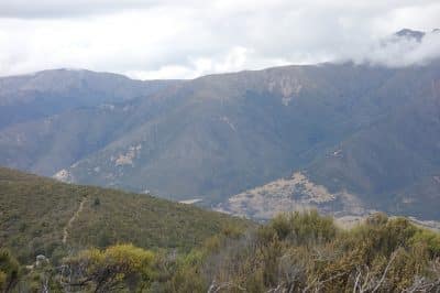
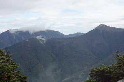
After 2 days in St. Arnaud, almost relaxed, we start on the next part, the „Richmond Ranges“. This part is supposed to be the most challenging but also most spectacular! We will see! In retrospective we talk about yhe „Richmond Curse“, as a lot of things happened on this part.
Why „almost“ relaxed? Heiko suffered one day on a food poisoning- that is our opinion on what this was. And if I say suffering, I mean just exactly that. No drinks, no food, just silent suffering and sleeping. Our new found friends, Shona and Ant contacted us, Ant also suffered one day. Together we have been at the last hut and at the cafe across the Alpine lodge, we suspect the last one to be the cause of the sickness. Shona and me were perfectly ok, so it only affects men ?
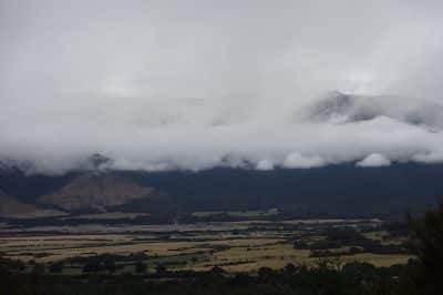
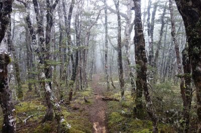
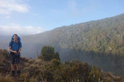
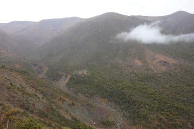
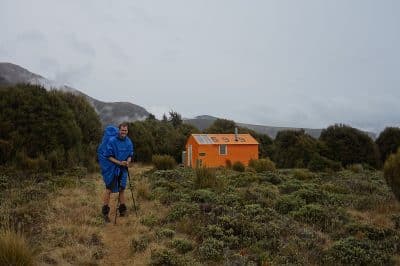
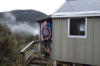
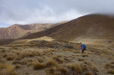
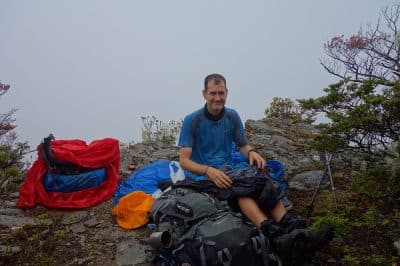
The weather is ambiguous, as my mood. Cloudy, misty, but not rainy. The path is easy going however a steady ascent. The packs are due to the need to carry food for 8 days very heavy. At the top, the path turns into a beautiful forrest. It is a steep descent. It is also a mountain bike trail, however how anybody can ride a bike on this part and live to tell the tale- for me that is a miracle. We struggled on foot, Heiko even decided (unwillingly) to slide some parts on his behind…Besides of this part we really enjoy the first day. In the Hut we meet some old friends, we already met some times before: John and his friend . Besides him, 4 other „Nobos“ (north bound hikers) arrive. Wow, the first time that we meet so many Nobos. As the huts in the Richmond Ranges are small, between 5 and 8 bunks, that is not exactly a good timing to meet so many other trampers. We will see!
Day 64, Red Hill Hut to Hunters Hut, 20 km
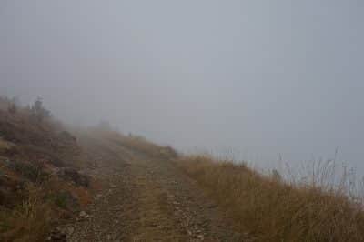
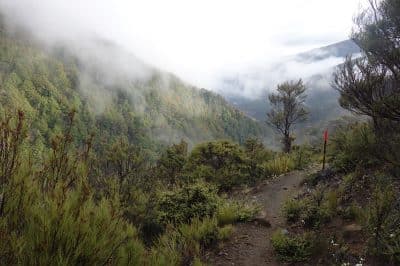
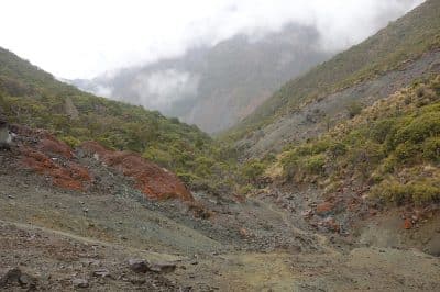
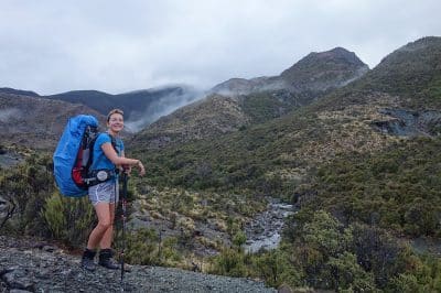
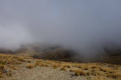
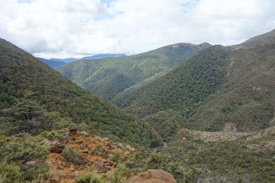
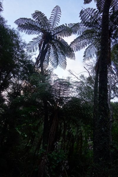
The weather is, as predicted, cloudy and it is raining. The path is beautifully mystical at first. Red gravel, low hanging fog, beautiful woodland. In between some climbing passages, which we easily master. Constant up and down consumes the forces, in addition to the drizzle, … already exhausting. But the environment is unreal beautiful with lots of rock. After 4.5 hours we reach our “Lich hut”. Nice to come out of the rain for a short time. We meet 3 of the 4 Hiker who started in front of us. We thought, at least during the day we want to be alone and gave them a decent “head start”, while we enjoyed a second coffee. Crap. We had hoped that they are much faster than us and “jump” if necessary, a hut. Since we caught up with them at noon, this is not going to happen…
Day 65
Hunters Hut – Mid Weiora hut, 17,5km
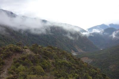
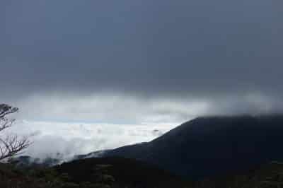
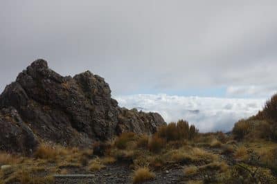
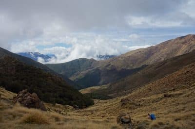
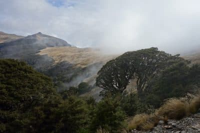
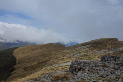
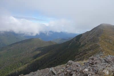
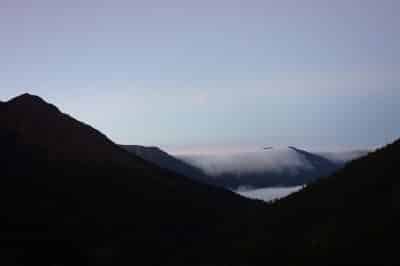
It rained heavily during the night, it is cloudy in the morning, but at least dry. First we tackled up and downs. Than a long climb of 500 meters of steep ascent. Once at the top, the sun is sometimes even showing! It’s an amazing show that the clouds show us. They fly by, the sun disperses them and you have a bit of light and a view for a short time. Usually, however, the seconds are not enough to get the camera ready. As if the fog “plays” with us. Up on the ridge, we continue to enjoy the spectacle. It is really nice! The descent is partly steep and over scree fields, but you can see from far away the hut where we want to enjoy lunch! Nice!
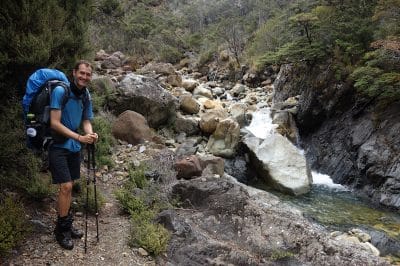
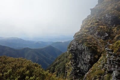
We take a leisurely break. The second stage is described as very demanding. Along the river with 8 crossings and then – really dangerous – on the slippery slope above the riverbed. Steep, no holds, climbing passages. In Germany, there would be steel cables installed everywhere, which help one to overcome rocks or to manage too steep passages. There is nothing like that on the trail. Usually I think that’s perfectly okay, but at this stage it would have been really helpful for a few places. We are progressing very slowly, it is tedious and very dangerous. But, we can do it and reach the hut safely.
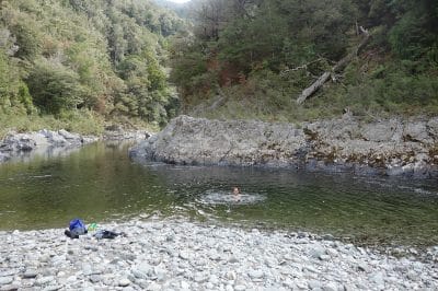
We are lucky, except for our 4 „nobo-bubble“, no oncoming hiker has been added, so we get hold of the last two beds. They recommend us, a good place to swim. Great, that’s nice! Of course, we take this opportunity very seriously. Just as I’m bathing, one comes to fetch water. Really now? Well, that Is probably the reason why there is a stereotype of the „naked germans“…..
Mid Weiora hut – Mount Rintoul hut, 15km
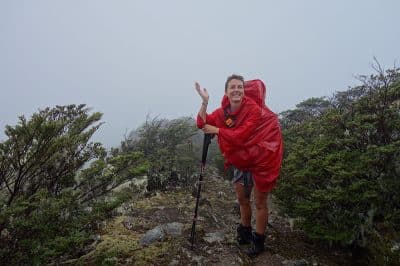
At night and in the morning it is raining, probably a “poncho day”. Unexpectedly, the path goes up an hour steeply in the forest. Together with the slippery forest floor (root + water = soft soap) is not a real pleasure. But we still make good progress. Then it gets less steep but continues to climb. after 3.5 hours we reach the junction to a hut where we could take lunch. Mmh, it’s not raining right now and the cabin is a few meters off. We decide tonskip the hut and eat better on the way.
Stupid idea. Very stupid idea. Of course, it starts to rain more heavily the moment we sit down. We have nothing left to do but enjoy our lunch break in the rain. Cold! Brrr !! As quickly as possible, we “consume” as many calories as possible in no time.
Freshly strengthened, it is again 500 meters to rise to 1570 meters. What a day! At the top of the “Purple Hill, a fantastic view! No, of course not. Low clouds, continuous rain, no visibility. Absolutely none. Zero.
The descent is not so steep, so we arrive quickly down. In record time we reach the hut and are in front of the bubble. Very well! We enjoy the hut and warm up. Fingers crossed for better weather tomorrow, the allegedly most demanding ascent is ahead of us and – when the weather clears (which according to the report should do) – one of the most spectacular views of the trail. We will see!
Day 67, Mount Rintoul Hut – Old Man’s Hut, 4.5 km (5h)
What a day: Wet, cold, an accident with luck in disguise and a kind of happy ending.
But from the beginning: The upcoming stage should be the most demanding on the trail, owing to the steep climb. We arm ourselves with a good breakfast and start right behind the hut with the rise in the forest. This time there are 800 meters of altitude ahead of us. Approximately 600 to Mount Rintoul (1760 meters), 300 down and then again 200 up to the “little Rintoul”.
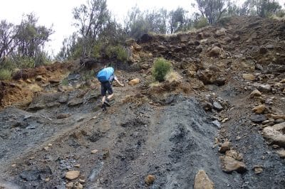
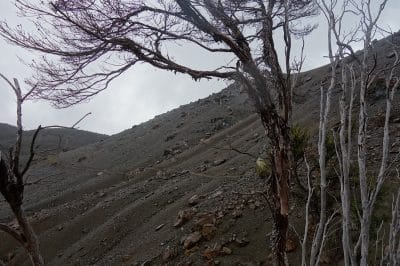
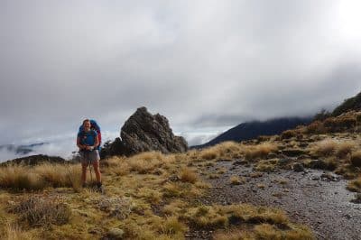
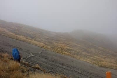
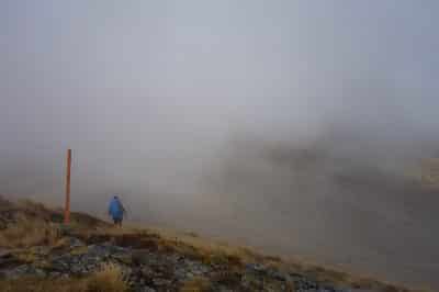
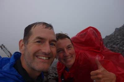
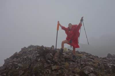
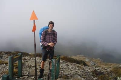
Once we have reached the tree line, the path leads steeply over deep gravel and pebbles up. Excellent! One step up, 1/2 back down. So you understand the time better: only 4.5 km but 5 hours. The rain (which, according to the forecast, should be just a trickle and should stop in the morning) is getting stronger. It is joined by gusty wind. We fight our way up, can not get any worse. We reach the summit, zero visibility, horizontal rain. Nevertheless, there is a summit photo – you have to believe us, that was the top …
We descend to get to the little brother of Mount Rintoul. Just when it goes again over unstable boulders to the second summit, it happens: Au – I slide out, and fall down. As in slow motion, I then experience how the weight of the backpack gets me rolling. Uff – a stone and my solar plexus make intimate acquaintance. Now I also understand why this is always the target for the punch in boxing. All air escapes at once. Half a roll further and – ouch – my temple and another stone decided to establish close contact. The next half roll is stopped by the knee on a rock. Oh dear. First time seems to stand still, while I take stock and the shocked Heiko rushes to me. Phew, basically lucky: A big bump forms on the temple – but no serious dizziness. Many scratches, a few grazes. Breathing goes, deep breath hurts, probably a rib will be bruised. The knee a bit thick, but movable. After an “emergency energy intake break” with as much sugar as possible, the putting on of three jackets, as the shock has caused me to shiver, we continue – I am a bit shaky – on. After the second summit is a hut that is off the beaten track, that’s our destination. Due to the weather situation this is also the safest decision. In this weather, no helicopter could land and wait in the rain would be no real option. The remaining three hours up and then down are – to say the least – hard. Physically through the pain, but also mentally. It means “biting”!
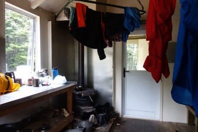
Then we reach the hut! Thank God!! While I lie down and “lick my wounds”, Heiko takes care of wood and makes a nice fire. First recover, watch the bump, knee and rib and then decide tomorrow how to proceed. What a day!
In the sleeping bag with extra portion of consolation chocolate, hot tea and roaring fire we digest the shock and enjoy the peace in the hut – now we have escaped the Nobo bubble!
Day 68, Old Mans hut – Starveall hut, 15km
Today we want to take it slow. The afternoon and the night resting have done well. Conclusion after medical self check: Very good self-healing powers or is that attributable to the self-sacrificing care of Heiko? The bump is of course still there, but hurts only on pressure. So do not push it – easy. Rib makes itself noticeable when inhaling and during all over-head movements. The latter do not interfere with hiking. Knee is painful, but ignorable. Let’s go!
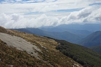
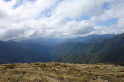
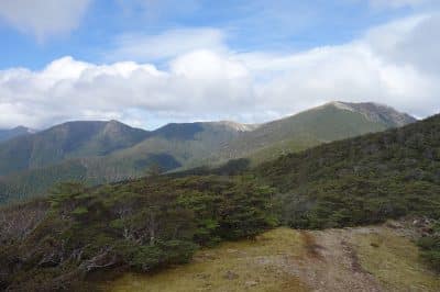
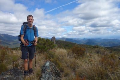
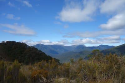
For the first time in days you can see a (very small) blue in the sky. No wonder we are approaching the end of the “Richmond Ranges” … No rain, great !! We climb again 400 meters. And we actually have a view! Great! You are surrounded by mountains, a dreamlike scenario! We walk on the range between Old Mans Hill and Slaty Peek, both at about 1500 meters. The sun actually comes out and we enjoy the day.
At noon we reach “Slaty Hut”. After the lunch break the decision: we still manage a small stage (calculated with 2h) to the next hut. I would not have thought it possible yesterday, but the pain is ok and I can even enjoy the way. The stage includes more ups and downs, but the path is relatively good, so we reach Starveall Hut early. We are glad that things went so well today and that the weather is even a bit nice, a forgiven end of the “Richmond Ranges”.
Day 69, Starveall Hut – Rocks Hut, 21 km
Oh, the coffee is running low now … We enjoy every sip, the rest is so little, that it will hardly be enough to dye the water tomorrow. Even the snacks are running low, time for the end of the stage. We start. Before we master a long, steep descent, we enjoy the view. It will be – finally again – a sunny day! Once at the bottom, it is always along the river or above. You could certainly avoid jumping into the water with “stones”, but the shoes – meanwhile also heikos – are so broken that even than water gets into the shoes. So it does not matter, we save time and go right through.
At noon we reach Browning Hut and enjoy the sun. The next stage brings again a 500 vertical meters steep climb through the forest. On top we have a wonderful view to Nelson. Nice! The path is very strenuous, as it is now steadily up and down the woods. This is one of those days where you think you are not progressing.
Then finally comes – as if out of nowhere – the hut! What a nice surprise !! For lack of snacks we eat a cereal before dinner. That stuffs the one-hour gap until dinner :)! And then chocolate and whiskey – Juhu !!
Day 70, Rocks Hut – Emerald Pool, 15km
Plan today: Only a 1/2 day to the last hut in Te Araroa! We enjoy the last coffee (colored water, reminiscent of the taste of coffee) and off you go. To the first hut it goes steeply downhill for 2 hours. Unpleasant but thank goodness only briefly. At Midy Hut we do not even stop, go straight to Captains Creek Hut. We are at the hut before noon. We eat comfortably at noon. Somehow we are not ready for “closing time”. So we decide to move on and enjoy freedom camping last time on the Te Araroa.
To explain: a stage of 4 days is still in front of us, the “Queen Charlotte Trail”, but this is a frequently walked trail, very well developed with many cafes, hostels and campsites on the way. Accordingly, freedom camping is not allowed.
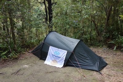
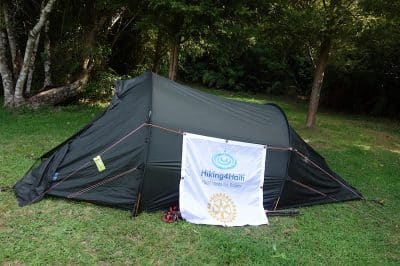
We are targeting “Emerald Pool”, which is a picnic and swimming spot on the Pelorus River. It goes up and down a bit and then we reach our destination. Great, a place for a tent and we even have a table with a bench. Freedom camping de luxe! We use the great swimming place and prepare ourselves for a peaceful night, which we then enjoy.
Day 71, 72, 73), Emerald Pool – Pelorus Bridge – Nelson
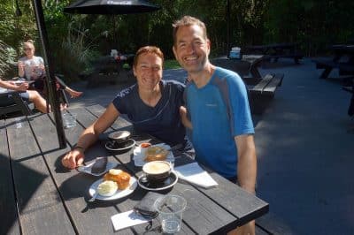
The last few kilometers to Pelorus Bridge are unspectacular, mainly along a gravel road. We reach our destination at eleven o’clock. There is a cafe here, we jump on the delicious selection and feast first !! We meet a nice American, Jeff, who invites us to stay with him when we drive by in Idaho, USA. Deal!
We hitch to Nelson, the first car stops, a very nice couple (she English, he American). Wonderful!
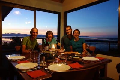
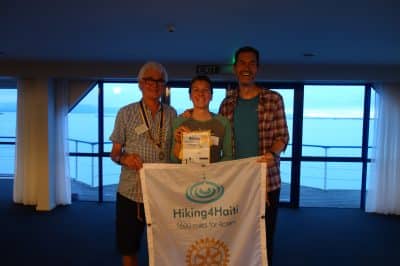
The next two days we enjoy the hospitality of our friends Shona and Ant in Nelson. We feel so welcome and enjoy the company of these great people! Thank you!! In the evening I visit the local Rotary Club Nelson West. A great evening with wonderful people. I had the opportunity to introduce the club and the project and was rewarded with a spontaneous donation. Many Thanks!
After these wonderful days at Shona and Ant, we head off to the final stage of Te Araroa: the Queen Charlotte Track. It ends in “ship cove”, from there we have already booked a water taxi to Picton.
We have decided to tackle this stage very slowly and enjoy every step / day. Although it’s only four days, the backpacks are ultra-heavy. Let’s see if we manage to eat all the goodies!
Ant drives us a bit to a good hitch spot. Already the first car stops. Excellent! Almost too fast, because we left our tracker in the car. Thank God Ant still gets us!
We drive comfortably to Havelock. From the car we see an old acquaintance: John, also a TA Hiker. So funny that we meet him again and again. We’ve met him four times already and always there is a long story of how he could overtake us again. We leave our noble driver in Havelock and are lucky again, after 5 minutes another car stops, which brings us to the track – where John already stands …
We are happy and let us tell his story, which includes an accident, bad weather, breaking off the trail and cross-re-entry. We say goodbye with the promise to visit him in Tauranga.
After 3 km we reach our destination and enjoy the sun on the beautiful place, which we have completely for us.
Day 75, Davis Bay Campsite to Cowshed Bay Campsite, 20 km
At night, Heiko wakes up because something tugs at the tent. As it does not stop, he gets up to find the cause. Outside, many possums run around. I know thezy are a pest, but they look so cute! Heiko wakes me up and together we watch the little rascals while a beautiful full moon makes the night almost to the day!
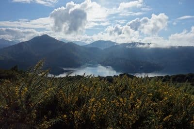
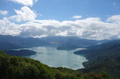
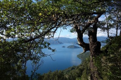
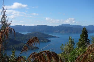
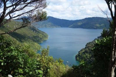
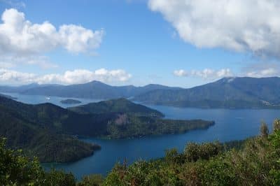
Despite our nightly excursion, we start the day fresh and enjoy having time for a second coffee. The path always remains with a beautiful view of the fjords and is wonderfully developed. What a pleasure!
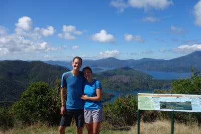
Because we are moving so well, we make a “sidetrip” to a lookout point, where we enjoy our lunch break with a fantastic view. The view is so beautiful! After noon, we climb a saddle (400 meters in altitude) and then descend again at sea level.
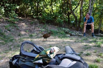
At the campsite we experience how cheeky Wekas can be, it almost runs away with our cookies, but drops the prey, as Heiko “is a bit quicker”! The chip bag arouses interest, but this time I’m alert!
We walk 500 meters to the next pub and treat ourselves to a beer – luxury !!
Day 76, Cowshed Bay to Campbay Campsite, 23km
Another beautiful day begins. After a hearty breakfast, we leave at 9:00 am. Again, the path always leads us along the fjord, slowly rising 400 meters. Above, with a fantastic view of the fjord, it is always along the degree.
Again, as expected, the path is perfectly laid out and we cover the first 15 km in just under 4 hours. And eat again! An oncoming hiker comes. He is wearing a small radio.
After my friendly intervention he pulls off quickly, singing aloud. He probably could not understand that we prefer the peace, only interrupted by countless birdsong and the rustling of creeping Wekas. Instead of listening to his radio.
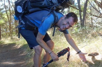
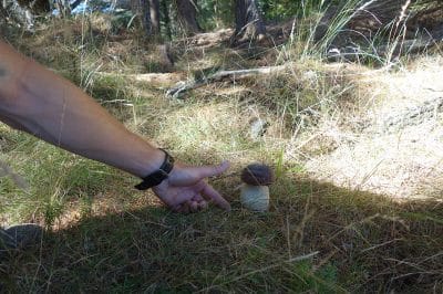
We pass countless mushrooms that Heiko identifies as porcini mushrooms. He is not sure enough to use them for dinner today. Pity!
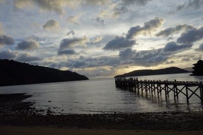
We reach the campsite in record time. This has direct access to the sea and we enjoy the rest of the afternoon.
Day 77, Campbay to Schoolhouse Bay Campsite, 23 km
The last real hiking day on the trail is relatively unspectacular. Of course, we continue to enjoy the fantastic view of the fjord.
Personal highlight was our coffee break, a managed lodge. In the bathroom, I discover a shower. Surely it is not thought that the coffee-seekers take a shower there, but as fast as we were in and out, nobody noticed! A blessing!
Quickly we reach the camp site. With mixed feelings, we are preparing for the last evening.
Day 78, Schoolhouse Bay to Ship Cove, 5 km
Our ship from Ship cove leaves at 10 o’clock, the short distance is indicated with 2,5h. So we still have enough time to celebrate the arrival at the end of the trail, we decide to start at 7. Shortly we wonder about this long time limit, but good.
With the packing of the tent the alarm rings at 6.00 o’clock. In the dark, we pack together and have a coffee. Nevertheless, we are ready at 6:50 am. Have probably gotten a little routine! It is still dark, so we start the first time on the trail with a headlamp.
As it gets light, the forest comes to life. Bellbirds delight us with their “R2D2” sounds, everywhere it rustles and we enjoy the color play of the rising sun. Simply fantastic!!
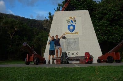
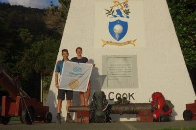
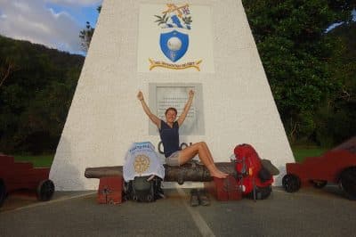
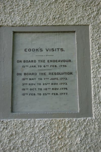
After 1 hour we reach Ship Cove. Well, we have time for a second breakfast after the obligatory photos at the “Captain Cook Memorial”!
We made it! 1300 km, 28 nights in a tent, 33 in a hut, 15 in a bed and 1 in the hobbit house, a lot of chocolate, many liters of whiskey, wonderful days, countless conversations about Rotary and Hiking4haiti and wonderful encounters, we are at the northernmost point of the South Island. Kind of sad that this is over now, but also fulfilling that we have mastered all the challenges. Mixed feelings !!
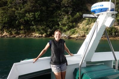
We take the boat to Picton and then to Wellington and enjoy the hospitality of Christine and Warren, whom we met at the beginning of our trip in Invercargill, and who spontaneously invited us to their home. We spend wonderful days with the two great people! Thank you so much for your kindness and hospitality!!!
First sort and relax before we plan the next adventure !!
The year has just begun !

